About three miles east of Trempealeau village, barricades still close off both ends of a burned railroad bridge. The Tank Creek Bridge was built in 1957 for the Chicago-Northwestern line and was more than 200 feet long. It caught fire on the evening of Thursday, May 15, 2025. The Wisconsin DNR called it "a total loss." In its release that week, the DNR said no one was hurt, the cause was under investigation and no reroute was in place. Eighteen months later, the DNR's Tank Creek Bridge page still describes the bridge and the area around it as closed. Because of where the bridge sits, there is still no detour.
This is the second winter the Great River State Trail has been split in two, and the replacement approved in October comes with a schedule that means it won't be the last. For anyone starting from Trempealeau, the trail that works this season runs west.
Trempealeau went from the middle of the trail to the end of it
Before the fire, Trempealeau sat partway along a continuous trail. On the DNR's trail map, the trail runs from the Marshland trailhead past Perrot State Park and through the village. East of Trempealeau it continues 5.6 miles to Lytle's Landing, then 4.3 miles to Midway and 3.4 miles to Onalaska. Another 2.6 miles carries it to the La Crosse River State Trail connection. WIZM put it simply: the closure "created a break" in the stretch of roughly 10 miles between Trempealeau and Midway.
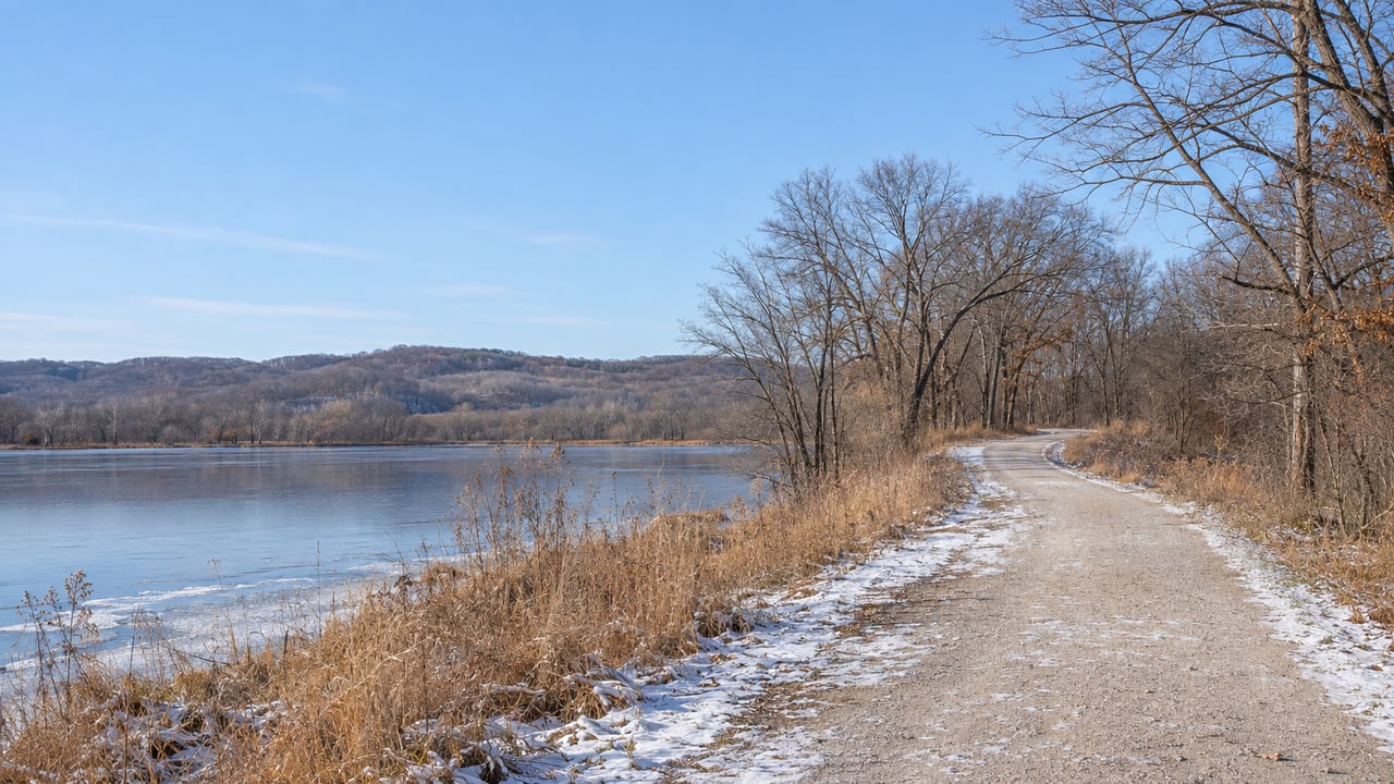
You can't ride straight through anymore. On the east side, you can still get on at Lytle's Landing, Midway and Onalaska. On the village side, the trail heads west. The burned bridge doesn't affect the section through Trempealeau National Wildlife Refuge. That part of the route runs on the far side of the village, between Trempealeau and Marshland.
The effect showed up in town quickly. In the first summer after the fire, the La Crosse Tribune reported that Trempealeau business owners were bracing for less bicycle traffic.
The repair is funded, and the earliest reopening is late 2027
The Wisconsin State Building Commission approved the replacement at its October 2026 meeting. According to WIZM, the project will cost an estimated $3.8 million, including a $2.35 million Federal Highway Administration grant. The DNR expects more money from the Federal Lands Access Program, but that depends on Congress reauthorizing appropriations. The state had already approved $364,000 for preliminary plans and specifications in October 2025.
WIZM reported this schedule:
- March 2027: Bids open.
- May 2027: Construction begins.
- November 2027: Expected "substantial completion."
- November 2028: Final completion.
The DNR's own page says work "may begin in summer 2027." Either way, the first date that could mean a through-ride is November 2027, a full year from now. State Rep. Steve Doyle told WIZM, "I'm hopeful that substantial completion means that it will be able to be used at that point."
Next summer also brings a second closure. The project replaces the Tank Creek Bridge and restores or replaces three other bridges leading to it. State officials told WIZM those three bridges need replacing anyway because of age and wear. Rebuilding them also gives heavy equipment a way in, because Tank Creek is the bridge farthest from the trailhead. While the work goes on, the DNR will close the trail between the Trempealeau trailhead and the Lytle's Landing trailhead, with signs, barricades and fencing around the site.
The new bridges should last longer than the old ones. State Sen. Brad Pfaff told WIZM they will sit higher to deal with flooding and use more durable materials. The Great River State Trail has 21 bridges with more than 3,100 linear feet of decking, and the DNR says most of them are 100-year-old railroad bridges.
Both lawmakers commented on how long it has taken. "I surely wish that we could have moved this faster," Pfaff told WIZM. He had proposed a public-private partnership with the Shovelmen, a Sparta group that designs and builds pedestrian bridges, and the state chose a traditional building project. Doyle saw it differently: "People have understood that the wheels of government don't move fast, but in terms of how projects usually go, this is lightning speed." WXOW quoted Pfaff calling the reopening "vital to local businesses, our tourism industry, and bicyclists."
West of the village, the winter trails connect
The state trail isn't groomed in winter. The DNR's Great River recreation page allows walking, biking, cross-country skiing and snowshoeing on it, and everyone shares it with snowmobiles. For anything more than a walk out and back, the destination is Perrot State Park, which is next to the trail. According to the park's winter recreation page, Perrot grooms and tracks nine miles of cross-country ski trail when there's enough snow:
| Perrot ski trail | Length |
|---|---|
| Bay trail | 2.0 miles |
| Wilber's trail | 2.4 miles |
| Prairie trail | 3.1 miles |
| Cedar Glade trail | 5.0 miles |
Skate skiing is allowed on a one-mile segment in the campground. Hikers, snowshoers and pets have to stay off the groomed ski trails. Snowshoers have their own routes: Black Walnut nature trail at 0.5 miles, Riverview, parts of Perrot Ridge and both sides of Brady's Bluff. Brady's Bluff east is 0.7 miles and starts at the Mounds parking lot near park headquarters. Brady's Bluff west is 0.5 miles and starts at Brady's parking lot above the boat landing. Both are narrow and steep, with steps. You can rent snowshoes at park headquarters.
Trempealeau National Wildlife Refuge sits on the other side of the trail and covers the rest of the winter options. It charges no admission, and the grounds are open daily from dawn to dusk. Its visitor page lists seasonal snowshoe and ski trails that aren't groomed. The longest is the Grand Tour at 3 miles. Shorter ones include White-Tail Woods at 1.1 miles, Rolling Dunes Dash and Access Marshland at 1.2 miles each, Red Pines Run at 0.9 miles and Pine Creek Pass at 0.5 miles. Several dike trails stay open year-round but aren't cleared of snow. The visitor contact station is open Wednesday through Saturday, 8:00 a.m. to 3:30 p.m.
Which pass you need depends on how you're getting around
Two different passes apply on this end of the trail:
- Walking, hiking, snowshoeing or skiing on the state trail: No state trail pass required.
- Biking, including fat-tire biking, for riders 16 and older: A state trail pass is required. It costs $25 a year or $5 a day. An annual pass bought for 2026 expires December 31, 2026, so one bought in the second half of November covers about six weeks. DNR rules allow winter fat biking on trails open to bicycles, except groomed ski trails and trails where the local government has banned it.
- Snowmobiling: Snowmobiles fall under their own registration and trail-pass system, not the state trail pass.
- Driving into Perrot State Park: A vehicle admission sticker is required. For Wisconsin plates it's $28 for 12 months or $13 for a day. Wisconsin residents 65 and older pay $13 for 12 months or $3 for a day. Out-of-state plates pay $50 or $16. The DNR's rate table adds a $5 fee if you use the park before paying.
The snowmobile season decides who else is on the trail
Because skiers and walkers share the ungroomed trail with sleds, the snowmobile trail status matters to everyone. The DNR leaves opening and closing snowmobile trails to each county, and the county posts the status. The Association of Wisconsin Snowmobile Clubs listing for Trempealeau County gives the trail-condition line as (877) 538-2311 ext. 205. The same listing names the county's clubs: G-E-T Trailblazers, Jackson-Trempealeau Ridgerunner, Arcadia Sno-Riders, Eleva-Strum Sno-Trekkers, Elk Creek Trailblazers, Indee Snowrunners, Osseo Sno-Drifters, Pigeon Sno Gliders and Whitehall Sno-Packers. The county's own snowmobiling page describes 259 miles of groomed trails.
Where the trip ends in town
When a ride or ski ends back in the village, there are two places to warm up. The Trempealeau Hotel offers full-service indoor dining. Its hours change with the weather, so the hotel asks guests to call or check its Facebook page. River Cafe serves breakfast and lunch every day except Tuesday. Until the bridge reopens, any trail traffic reaching these places comes in from the west.
If you'd like updates on the bridge, the DNR has an email notification list for the Great River State Trail that includes Tank Creek.
At Favre & Co., we follow projects like the Tank Creek replacement because they shape everyday life in Trempealeau County, from the trail out of town to the dining room where the trip ends. If you're wondering how a new bridge, a trail connection or a busier Main Street might affect your property here, ask us "What's My Home Worth?" We'll give you a local answer.